Maps
Maps
Maps for
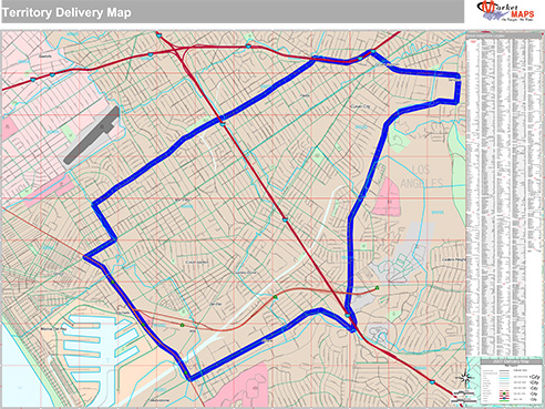
Delivery & Logistics
Easily manage routes, reference territories and keep
your deliveries ahead of schedule with MarketMAPS custom maps.
your deliveries ahead of schedule with MarketMAPS custom maps.
Features Commonly Used on
Delivery & Logistics Maps
Delivery & Logistics Maps
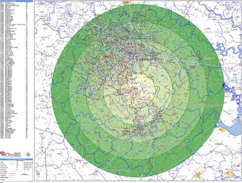
Radius Rings
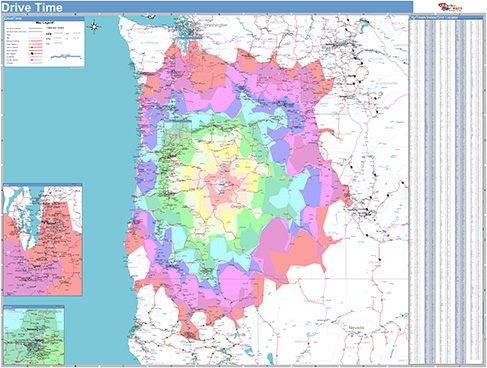
Drive Time Polygons
Custom Colors and Themes
Street Level Detail
Drive Time Polygons
Custom Colors and Themes
Street Level Detail
Highways
All Streets
Waterways
Border Crossings
Up-to-Date and Accurate Levels of GeographyAll Streets
Waterways
Border Crossings
ZIP Code Boundaries
County Boundaries
State Boundaries
Custom Boundaries & Territories
LaminatedCounty Boundaries
State Boundaries
Custom Boundaries & Territories
Draw, write and erase directly on maps
Formats

Digital Maps
Any Size or Format
AI or PDF
Wall MapsAI or PDF
2x3 to 9x12 feet and larger
Laminated, Framed, Magnetic and more
Custom sizing available
Printed MapsLaminated, Framed, Magnetic and more
Custom sizing available
8.5x11 to 17x22 inches
Custom sizing available
Map BooksCustom sizing available
8.5x11 and 11x17 inches


Consult with an Expert on Your Project
Get a FREE Quote…FAST
Contact an Expert
Our experts will quickly answer your questions and
help you find the best solution for your business. A Real Expert will Contact You...Fast!
help you find the best solution for your business. A Real Expert will Contact You...Fast!
Talk to an Expert
Need help fast? Our phones are staffed from
Monday through Friday, 8am to 5pm EST. Call 1-888-434-6277
Monday through Friday, 8am to 5pm EST. Call 1-888-434-6277